DATOS Y PROVEEDORES DE SERVICIOS
El EPOS Data Portal proporciona acceso a cientos de Datos, Productos de Datos, Software y Servicios (DDSS por las siglas en inglés de Data, Data products, Software and Services) procedentes de toda Europa. En España laboratorios, observatorios y grupos de investigación también colaboran aportando DDSS al Portal de EPOS. Hasta el día de hoy se han aportado 32 DDSS al portal procedentes de 6 TCS distintos.
Muchos de estos DDSS nacen de la colaboración entre grupos de numerosas instituciones. Aquí, hemos querido visibilizar la contribución de las instituciones españolas, pero dentro del Portal pueden consultarse todos los participantes.
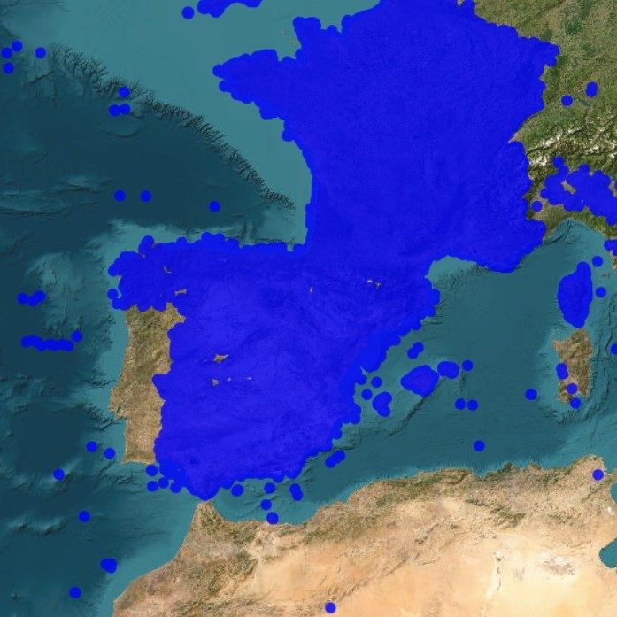
En esta página, algunos DDSS se han simplificado en una sola pestaña al presentar los mismos datos en distinto formato o ser una serie temporal del mismo tipo de datos (ej. Euro-Mediterranean Submarine landSlide database (EMSS21) – Mediterranean scars en formatos OGC WFS y OGC WMS.
¿CÓMO BUSCAR ESTOS DATOS?
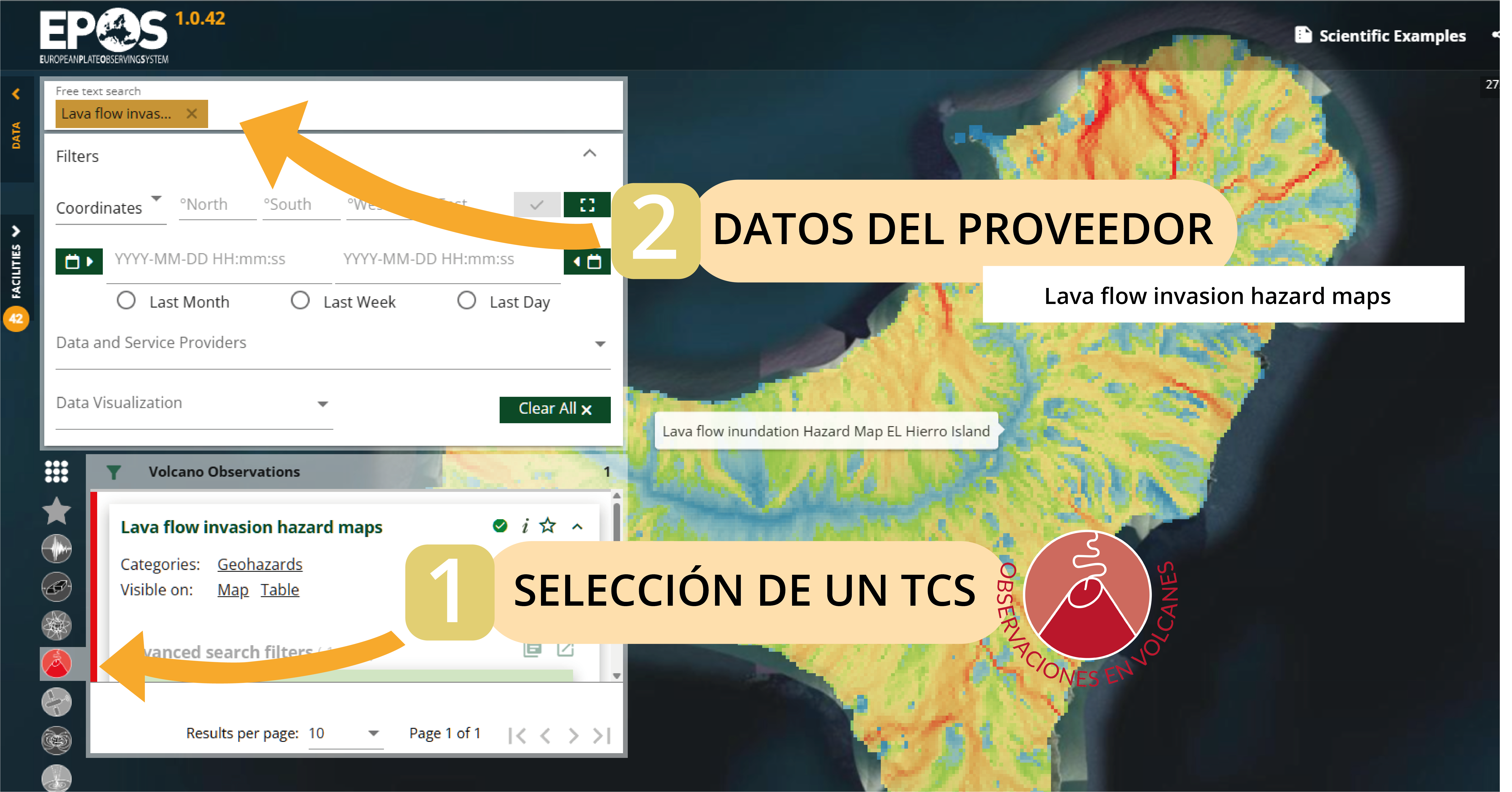
1. Selecciona un TCS
Selecciona de entre los 6 TCS distintos que actualmente proporcionan datos en el territorio nacional.
2. Introduce el nombre
En esta página encontrarás un listado de los distintos DDSS proporcionados por proveedores nacionales. Para localizarlos en el EPOS Data Portal, copia el nombre del DDSS que te ofrecemos más abajo (ordenados por TCS) y pégalo en el buscador ubicado en la esquina superior izquierda, identificado como “Free text search”. En la lista inferior de TCS, se resaltará el logotipo del TCS en el que se encuentra ubicado el DDSS.
OBSERVACIONES EN VOLCANES
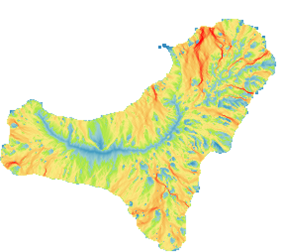
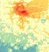
Lava flow invasion hazard maps
PROVEEDOR DE DATOS:
CSIC – Agencia Estatal Consejo Superior de Investigaciones Cientificas.
PROVEEDOR DE DATOS:
CSIC – Agencia Estatal Consejo Superior de Investigaciones Cientificas.
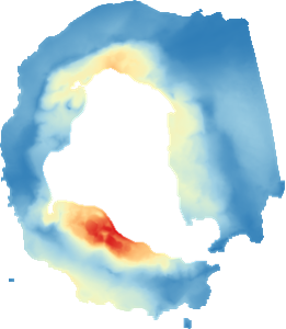
Pyroclastic Density Currents hazard maps
PROVEEDOR DE DATOS:
CSIC – Agencia Estatal Consejo Superior de Investigaciones Cientificas.
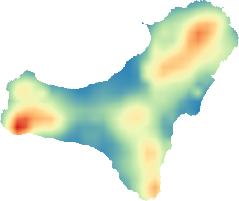
Susceptibility Maps Distribution
PROVEEDOR DE DATOS:
CSIC – Agencia Estatal Consejo Superior de Investigaciones Cientificas.
INFORMACIÓN GEOLÓGICA Y MODELADO
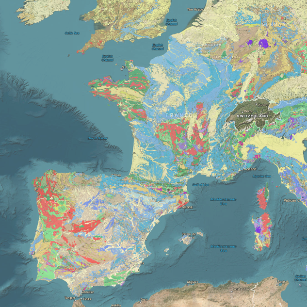
Geological Feature View Service (EGDI Geological Map 1:1,000,000)
PROVEEDOR DE DATOS:
IGME – Instituto Geológico y Minero de España
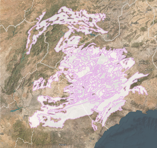
Geological Feature Download Service
PROVEEDOR DE DATOS:
IGME – Instituto Geológico y Minero de España
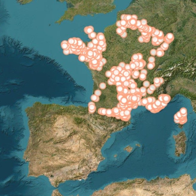
Mine Download Service based on Min4EU dataset
PROVEEDOR DE DATOS:
IGME – Instituto Geológico y Minero de España
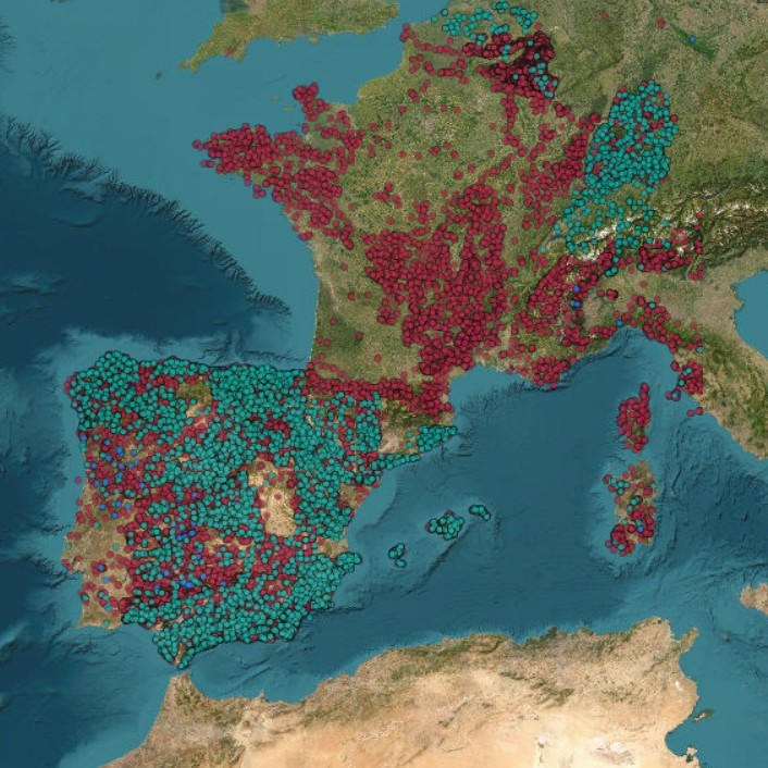
Mine View Service based on Min4EU dataset
PROVEEDOR DE DATOS:
IGME – Instituto Geológico y Minero de España
TSUNAMIS
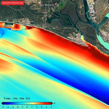
PROVEEDOR DE DATOS:
UMA – Universidad de Málaga
*Este DDSS aún no se encuentra disponible en el EPOS Data Portal. Es posible acceder a el a través de la web del TCS Tsunamis.
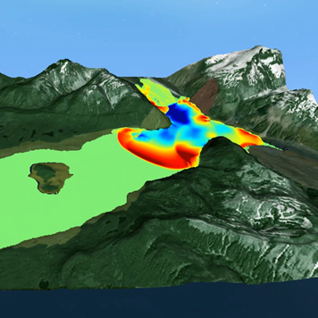
PROVEEDOR DE DATOS:
UMA – Universidad de Málaga
*Este DDSS aún no se encuentra disponible en el EPOS Data Portal. Es posible acceder a el a través de la web del TCS Tsunamis.
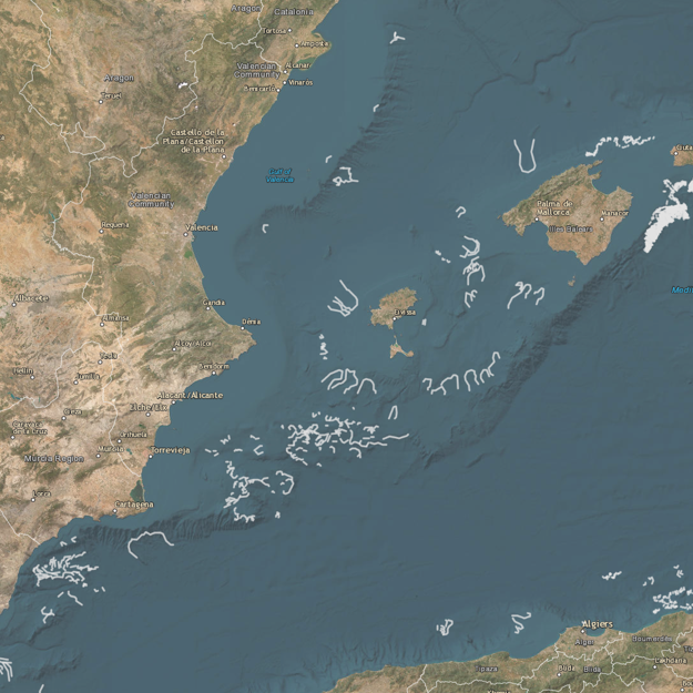
PROVEEDOR DE DATOS:
CSIC – Agencia Estatal Consejo Superior de Investigaciones Cientificas.
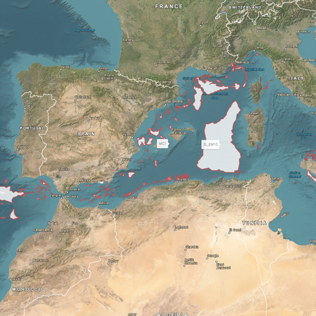
PROVEEDOR DE DATOS:
CSIC – Agencia Estatal Consejo Superior de Investigaciones Cientificas.
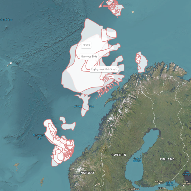
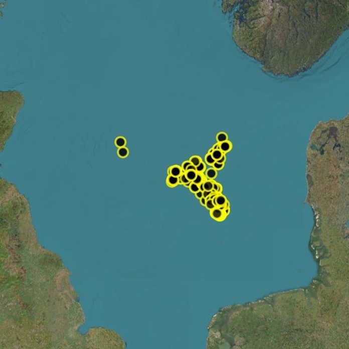
Euro-Mediterranean Submarine landSlide database (EMSS21) – Arctic deposits (OGC WFS) and (OGC WMS) – 2DDS
PROVEEDOR DE DATOS:
CSIC – Agencia Estatal Consejo Superior de Investigaciones Cientificas.

NEAM Tsunami Hazard Model 2018 full dataset (OGC WFS)
PROVEEDOR DE DATOS:
UB – University of Barcelona
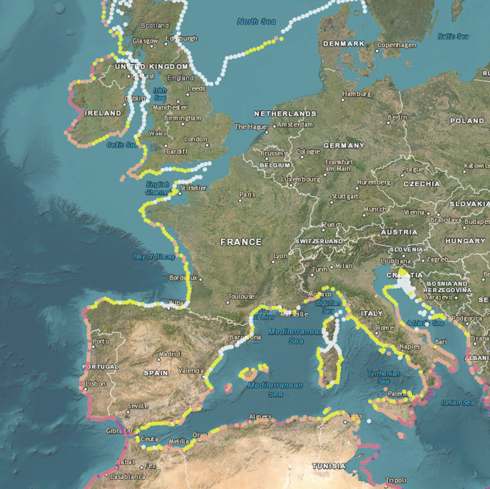
NEAM Tsunami Hazard Map ARP 475/975/2475/4975/9975 yr (OGC WMS)
– 5 DDSS
PROVEEDOR DE DATOS:
UB – University of Barcelona
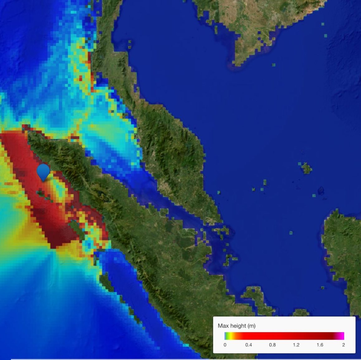
PROVEEDOR DE DATOS:
IH Cantabria
*Este DDSS aún no se encuentra disponible en el EPOS Data Portal. Es posible acceder a el a través de la web del TCS Tsunamis.
SISMOLOGÍA
Proveedores de datos:
EIDA node ICGC (Cartographic and Geological Institute of Catalonia, Spain):
– Catalan seismic network.
– Ebre Observatory seismic network.
– POCRISC Project ,YK_2019.
– SANIMS Project ,YS_2019
– Spanish Digital Seismic Network
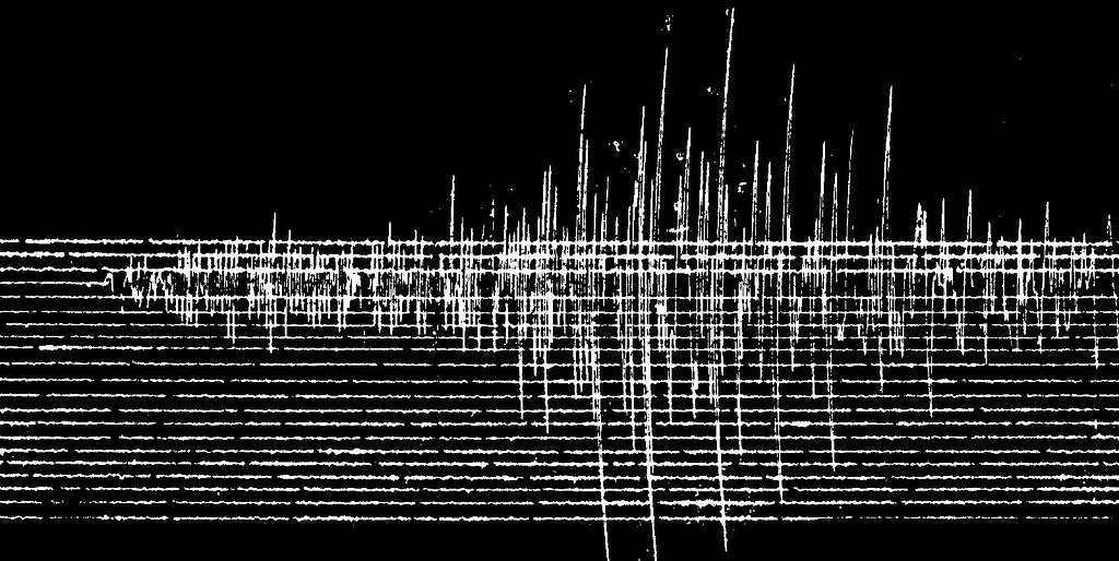
ESM Event-Data Web-Service (ASDF, MINISEED, SAC, and ASCII formats)
RRSM event and peak-motion information (USGS ShakeMap format)
Station metadata distributed by EIDA (federated access)
Waveform availability metrics distributed by the EIDA FEDERATOR
Seismic waveforms distributed by ICGC (Cartographic and Geological Institute of Catalonia)
Station metadata distributed by ICGC (Cartographic and Geological Institute of Catalonia)
ESM peak-motion and earthquake information (USGS ShakeMap formats)
Seismic waveforms distributed by EIDA (federated access)
Waveform quality and availability metrics distributed by EIDA (federated access)
Seismic waveforms distributed by ICGC (Cartographic and Geological Institute of Catalonia)
Seismic waveforms distributed by ICGC (Cartographic and Geological Institute of Catalonia)
GNSS
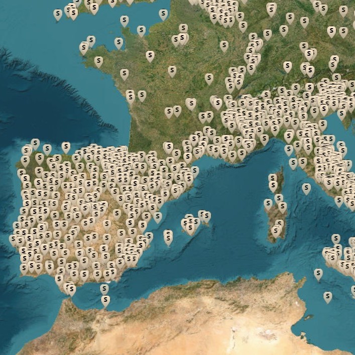
PROVEEDORES DE DATOS:
BFA, CANT, CAR, CCPA, GFA, GRAFCAN, GVEJ, ICGC, ICV, IECA, IGE, IGEAR, IGEAR&IGE, ITACYL, JdE&IGE, JUNTAEX, ROA, SCGN
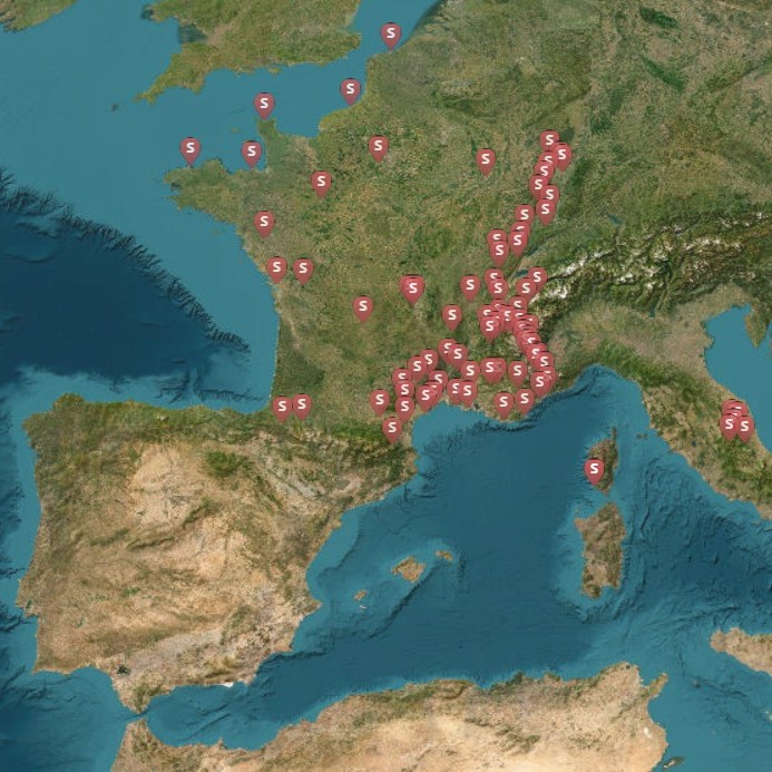
GNSS Stations with Highrate RINEX Data
PROVEEDORES DE DATOS:
BFA, GRAFCAN, CARM, GFA, GVEJ, CANT, CAR, SCGN, ICGC, ICV, IGE, IGEAR, ITACYL, IECA, JUNTAEX, CCPA, PE, ROA, REGAM: SCGN, SITIBSA
Abreviaturas proovedores Datos GNSS:
BFA – BIZKAIKO FORU ALDUNDIA – Diputación Foral de Bizkaia, GRAFCAN – Cartográfica de Canarias, S.A., CARM – Comunidad Autónoma de la Región de Murcia, GFA – Gipuzkoako Foru Aldundia – Diputación Foral de Gipuzkoa, GVEJ – Gobierno Vasco – Eusko Jaurlaritza, CANT – Gobierno de Cantabria, CAR – Gobierno de La Rioja, SCGN – Sección de Cartografía del Gobierno de Navarra, ICGC – Institut Cartogràfic i Geològic de Catalunya, ICV – Institut Cartogràfic Valencià, IGE – Instituto Geográfico Nacional de España, IGEAR – Instituto Geográfico de Aragón, ITACYL – Instituto Tecnológico Agrario de Castilla y León, IECA – Instituto de Estadística y Cartografía de Andalucía, JUNTAEX – Junta de Extremadura, CCPA – Principado de Asturias, PE – Puertos del Estado, ROA – Real Instituto y Observatorio de la Armada, REGAM – Región de Murcia, SITIBSA – Servei d’Informació Territorial de les Illes Balears.

DATOS SATÉLITE
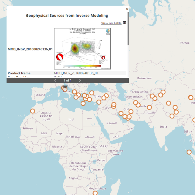
Geophysical Sources from Inverse Modeling
PROVEEDOR DE DATOS:
CSIC – Agencia Estatal Consejo Superior de Investigaciones Cientificas.


